
فایل:Location map of Montgomery County, Indiana.svg

حجم پیشنمایش PNG این SVG file:۶۰۰ × ۶۰۰ پیکسل آیری کیفیتلر: ۲۴۰ × ۲۴۰ پیکسل | ۴۸۰ × ۴۸۰ پیکسل | ۷۶۸ × ۷۶۸ پیکسل | ۱٬۰۲۴ × ۱٬۰۲۴ پیکسل | ۲٬۰۴۸ × ۲٬۰۴۸ پیکسل | ۹۶۰ × ۹۶۰ پیکسل.
فایلین اصلی (SVG فایلی، ۹۶۰ × ۹۶۰ پیکسئل، فایلین اؤلچوسو: ۱٫۳۲ مگابایت)
قیساسی
| آچیقلاما |
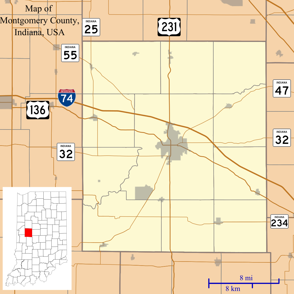
English: This is a map of Montgomery County, Indiana, USA which includes incorporated settlements, township borders, and major highways. |
| تاریخ | |
| قایناق | Source=My own work, using custom-written MapScript applications with United States Census Bureau TIGER 2013 data |
| یازار | Omnedon |
لیسانس
| من، دارنده حق تکثیر این اثر، این اثر را به مالکیت عمومی منتشر میکنم. این قابل اجرا در تمام نقاط جهان است. در برخی از کشورها ممکن است به صورت قانونی این امکانپذیر نباشد؛ اگر چنین است: من اجازهٔ استفاده از این اثر را برای هر مقصودی، بدون هیچگونه شرایطی میدهم، تا وقتی که این شرایط توسط قانون مستلزم نشده باشد. |
فايل گئچمیشی
فايلین اولکی وئرسیياسینی گؤرمک اۆچون گۆن/تاریخ بؤلمهسیندهکی تاریخلری تێقلايین.
| تاریخ/واخت | کیچیک عکس | اؤلچولر | ایشلدن | باخیش | |
|---|---|---|---|---|---|
| ایندیکی | ۲۷ دسامبر ۲۰۱۳، ساعت ۰۳:۴۷ | | ۹۶۰ در ۹۶۰ (۱٫۳۲ مگابایت) | Omnedon | == {{int:filedesc}} == {{Information |Description={{en|This is a map of Montgomery County, Indiana, USA which includes incorporated settlements, township borders, and major highways.}} |Source=Source=My own work, using... |
فايل ایشلدمهسی
آشاغیداکی 13 صحیفهلر بو فایلا باغلانیرلار
فایلین باشاباش ایشلنیلمهسی
بو فایل آشاغی داکی آیری ویکی لرده ایشلَنیر:
- ar.wikipedia.org-ده ایشلنمهسی
- ceb.wikipedia.org-ده ایشلنمهسی
- en.wikipedia.org-ده ایشلنمهسی
- Alamo, Indiana
- Crawfordsville, Indiana
- Darlington, Indiana
- Ladoga, Indiana
- Linden, Indiana
- New Market, Indiana
- New Richmond, Indiana
- New Ross, Indiana
- Waveland, Indiana
- Waynetown, Indiana
- Browns Valley, Indiana
- Bowers, Indiana
- Deer's Mill, Indiana
- Elmdale, Indiana
- Garfield, Indiana
- Hibernia, Montgomery County, Indiana
- Kirkpatrick, Indiana
- Lapland, Indiana
- Mace, Indiana
- Parkersburg, Indiana
- Shannondale, Indiana
- Smartsburg, Indiana
- Wesley, Indiana
- Whitesville, Indiana
- Yountsville, Indiana
- Cherry Grove, Indiana
- Balhinch, Indiana
- Linnsburg, Indiana
- Lake Holiday, Indiana
- Darlington Woods, Indiana
- Module:Location map/data/USA Indiana Montgomery County/doc
- Beckville, Indiana
- North Union, Indiana
- Fiskville, Indiana
- Manchester, Montgomery County, Indiana
- Taylor Corner, Montgomery County, Indiana
- Ames, Indiana
- Module:Location map/data/USA Indiana Montgomery County
- fa.wikipedia.org-ده ایشلنمهسی
بو فایلینسراسری ایستفاده لرینه باخین.