رو شویی چایی
| رو شویی چایی | |
|---|---|
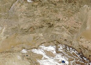
 Satellite view of the deserts of northern China. The Ruo River is visible as the faint green trace to the right of the image. | |
| دوغما آدی | 弱水 |
| Etymology | Named for the seasonal flows in its lower course |
| اؤلکه | چین |
| حوزه خصوصیاتلاری | |
| چای آغیزی | Badain Jaran Playa Badain Jaran Desert 900 units? 42°18′50″N 101°04′20″E / 42.31389°N 101.07222°Eموختصات: 42°18′50″N 101°04′20″E / 42.31389°N 101.07222°E |
| فیزیکی خصوصیاتلاری | |
| اوزونلوقو | 630 units? |
رو شویی چایی (اینگیلیسجه: Ruo Shui، آلمانجا: Heihe (Fluss)، روسجا: Жошуй) چین اؤلکهسینده یئرلشن بیر چای. اۇزونلوغو۶۳۰ کیلومتر دیر.
بیرده باخ[دَییشدیر]
ائشیک باغلانتیلار[دَییشدیر]
قایناقلار[دَییشدیر]
اینگیلیسجه ویکیپدیاسینین ایشلدنلری طرفیندن یارانمیش«Ruo Shui»، مقالهسیندن گؤتورولوبدور. (۲۲ جولای ۲۰۱۷ تاریخینده یوْخلانیلیبدیر).
