
فایل:Map showing Falls Church city, Virginia.png
یوخاری کیفیت الده یوخدور.
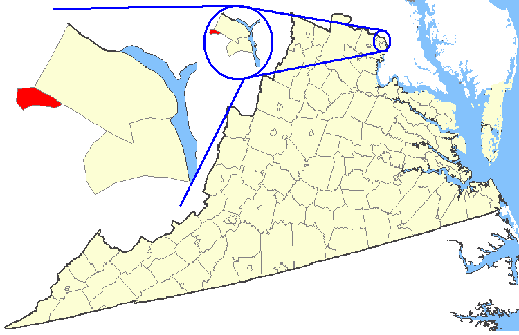
Map_showing_Falls_Church_city,_Virginia.png (۷۵۰ × ۴۸۵ پیکسل, فایل اؤلچوسو: ۳۵ کیلوبایت, MIME نوعو: image/png)
| آچیقلاما | Maps of counties in Virginia |
| قایناق | http://nationalatlas.gov/ |
| یازار | |
| ایجازه (فایلین تکرار ایستیفادهسی) |
Original work of the US Federal Government - public domain |
This map was obtained from an edition of the National Atlas of the United States. Like almost all works of the U.S. federal government, works from the National Atlas are in the public domain in the United States.
Online access: NationalAtlas.gov | 1970 print edition: Library of Congress, Perry-Castañeda Library
|
فايل گئچمیشی
فايلین اولکی وئرسیياسینی گؤرمک اۆچون گۆن/تاریخ بؤلمهسیندهکی تاریخلری تێقلايین.
| تاریخ/واخت | کیچیک عکس | اؤلچولر | ایشلدن | باخیش | |
|---|---|---|---|---|---|
| ایندیکی | ۱۹ فوریه ۲۰۰۷، ساعت ۰۱:۲۷ | | ۷۵۰ در ۴۸۵ (۳۵ کیلوبایت) | Rfc1394 | {{Information| |Description=Maps of counties in Virginia |Source=http://nationalatlas.gov/ |Date= |Author= |Permission=Original work of the US Federal Government - public domain |other_versions= }} {{PD-USGov}} Category:Virginia maps |
فايل ایشلدمهسی
آشاغیداکی صحیفه بو فایلا باغلانیر
فایلین باشاباش ایشلنیلمهسی
بو فایل آشاغی داکی آیری ویکی لرده ایشلَنیر:
- en.wikipedia.org-ده ایشلنمهسی
- fi.wikipedia.org-ده ایشلنمهسی
- ko.wikipedia.org-ده ایشلنمهسی
- nl.wikipedia.org-ده ایشلنمهسی
- no.wikipedia.org-ده ایشلنمهسی
- tr.wikipedia.org-ده ایشلنمهسی
- zh.wikipedia.org-ده ایشلنمهسی