
فایل:South Pacific Mandate map in 1930s.PNG

سیناق گؤستریشی اؤلچوسو: ۸۰۰ × ۴۸۹ پیکسل. آیری کیفیتلر: ۳۲۰ × ۱۹۶ پیکسل | ۶۴۰ × ۳۹۱ پیکسل | ۱٬۰۲۴ × ۶۲۶ پیکسل | ۱٬۲۸۰ × ۷۸۳ پیکسل | ۱٬۷۵۱ × ۱٬۰۷۱ پیکسل.
فایلین اصلی (۱٬۷۵۱ × ۱٬۰۷۱ پیکسل, فایل اؤلچوسو: ۸۹۵ کیلوبایت, MIME نوعو: image/png)
قیساسی
| آچیقلاما |
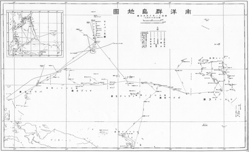
English: South Pacific Mandate map in 1930s 日本語: 1930年代の南洋群島地図 |
| تاریخ | دههٔ 1930 |
| قایناق |
English: Japanese book "Photograph collection of exterior territories of Japan" published by Tokai-Tsushinsha. 日本語: 東海通信社「大日本外地写真帖」より。 |
| یازار | نامعلوم |
لیسانس
This photograph is in the public domain in Japan because its copyright has expired according to Article 23 of the 1899 Copyright Act of Japan (English translation) and Article 2 of Supplemental Provisions of Copyright Act of 1970. This is when the photograph meets one of the following conditions:
|
 | |
 |
To uploader: Please provide the source and publication date.
|
فايل گئچمیشی
فايلین اولکی وئرسیياسینی گؤرمک اۆچون گۆن/تاریخ بؤلمهسیندهکی تاریخلری تێقلايین.
| تاریخ/واخت | کیچیک عکس | اؤلچولر | ایشلدن | باخیش | |
|---|---|---|---|---|---|
| ایندیکی | ۲۳ دسامبر ۲۰۱۰، ساعت ۰۰:۲۸ | | ۱٬۷۵۱ در ۱٬۰۷۱ (۸۹۵ کیلوبایت) | あばさー | {{Information |Description={{en|South Pacific Mandate map in 1930s}}{{ja|1930年代の南洋群島地図}} |Source={{en|Japanese book "Photograph collection of exterior territories of Japan" published by Tokai-Tsushinsha.}}{{ja|東海通信社「大日本 |
فايل ایشلدمهسی
آشاغیداکی صحیفه بو فایلا باغلانیر
فایلین باشاباش ایشلنیلمهسی
بو فایل آشاغی داکی آیری ویکی لرده ایشلَنیر:
- bn.wikipedia.org-ده ایشلنمهسی
- de.wikipedia.org-ده ایشلنمهسی
- en.wikipedia.org-ده ایشلنمهسی
- fa.wikipedia.org-ده ایشلنمهسی
- id.wikipedia.org-ده ایشلنمهسی
- ko.wikipedia.org-ده ایشلنمهسی
- vi.wikipedia.org-ده ایشلنمهسی
- zh.wikipedia.org-ده ایشلنمهسی