
فایل:Syria 2004 CIA map-2010-07-09.JPG
سیناق گؤستریشی اؤلچوسو: ۸۰۰ × ۵۷۴ پیکسل. آیری کیفیتلر: ۳۲۰ × ۲۲۹ پیکسل | ۶۴۰ × ۴۵۹ پیکسل | ۱٬۰۰۴ × ۷۲۰ پیکسل.
فایلین اصلی (۱٬۰۰۴ × ۷۲۰ پیکسل, فایل اؤلچوسو: ۱۲۷ کیلوبایت, MIME نوعو: image/jpeg)
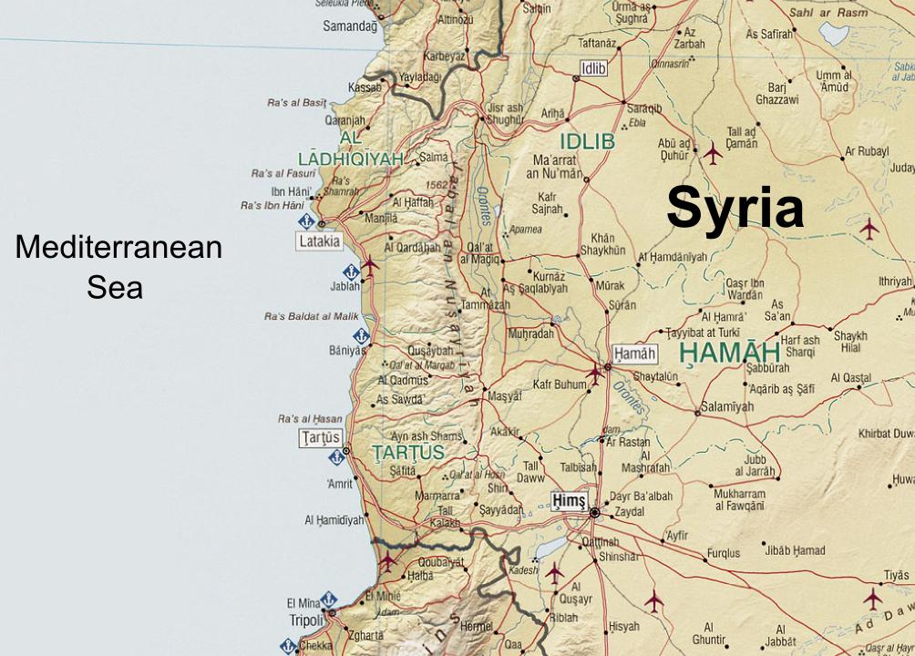
| آچیقلاما | Syria. United States. Central Intelligence Agency. CREATED/PUBLISHED [Washington, D.C. : Central Intelligence Agency, 2004] NOTES "803011 (C00612) 1-04." Scale 1:1,300,000 ; Lambert conformal conic proj., standard parallels 32010'N and 38020'N (E 350--E 420/N 370--N 320). SUBJECTS Syria--Maps. Syria. MEDIUM 1 map : col. ; 66 x 66 cm. CALL NUMBER G7460 2004 .U5 REPOSITORY Library of Congress Geography and Map Division Washington, D.C. 20540-4650 USA DIGITAL ID g7460 ct001190 http://hdl.loc.gov/loc.gmd/g7460.ct001190 |
| تاریخ | (UTC) |
| قایناق | |
| یازار |
|
| این یک عکس دستکاری شده است به این معنی که به صورت دیجیتالی از نسخهٔ اصلی تغییر یافتهاست. تغییرها: Zoomed in at the An-Nusayriyah Mountains, removed the typing "Cape Apostolos Andreas" at eastern Cyprus, removed the Golan Heights zoomed map, replaced the name "Mediterranean Sea", added the name "Syria". اصل آن را میتوان در اینجا مشاهده کرد: Syria 2004 CIA map.jpg. تغییرها توسط Supreme Deliciousness انجام شدهاست.
|
| This image is a work of a Central Intelligence Agency employee, taken or made as part of that person's official duties. As a Work of the United States Government, this image or media is in the public domain in the United States.
|

|
اورجینال یوکلمه گوندهلیگی
This image is a derivative work of the following images:
- File:Syria_2004_CIA_map.jpg licensed with PD-USGov-CIA
- 2005-10-26T04:43:40Z Brian0918 3200x3178 (3495939 Bytes) Syria. United States. Central Intelligence Agency. CREATED/PUBLISHED [Washington, D.C. : Central Intelligence Agency, 2004] NOTES "803011 (C00612) 1-04." Scale 1:1,300,000 ; Lambert conformal conic proj., standard paralle
Uploaded with derivativeFX
فايل گئچمیشی
فايلین اولکی وئرسیياسینی گؤرمک اۆچون گۆن/تاریخ بؤلمهسیندهکی تاریخلری تێقلايین.
| تاریخ/واخت | کیچیک عکس | اؤلچولر | ایشلدن | باخیش | |
|---|---|---|---|---|---|
| ایندیکی | ۷ سپتامبر ۲۰۱۰، ساعت ۱۲:۰۸ | | ۱٬۰۰۴ در ۷۲۰ (۱۲۷ کیلوبایت) | Supreme Deliciousness | {{Information |Description=Syria. United States. Central Intelligence Agency. CREATED/PUBLISHED [Washington, D.C. : Central Intelligence Agency, 2004] NOTES "803011 (C00612) 1-04." Scale 1:1,300,000 ; Lambert conformal conic proj., standard parallels |
فايل ایشلدمهسی
آشاغیداکی صحیفه بو فایلا باغلانیر
فایلین باشاباش ایشلنیلمهسی
بو فایل آشاغی داکی آیری ویکی لرده ایشلَنیر:
- ar.wikipedia.org-ده ایشلنمهسی
- az.wikipedia.org-ده ایشلنمهسی
- bg.wikipedia.org-ده ایشلنمهسی
- ca.wikipedia.org-ده ایشلنمهسی
- en.wikipedia.org-ده ایشلنمهسی
- es.wikipedia.org-ده ایشلنمهسی
- fr.wikipedia.org-ده ایشلنمهسی
- it.wikipedia.org-ده ایشلنمهسی
- lld.wikipedia.org-ده ایشلنمهسی
- nn.wikipedia.org-ده ایشلنمهسی
- pt.wikipedia.org-ده ایشلنمهسی
- ro.wikipedia.org-ده ایشلنمهسی
- ru.wikipedia.org-ده ایشلنمهسی
- tr.wikipedia.org-ده ایشلنمهسی
- uk.wikipedia.org-ده ایشلنمهسی
- ur.wikipedia.org-ده ایشلنمهسی
- vi.wikipedia.org-ده ایشلنمهسی
- www.wikidata.org-ده ایشلنمهسی
- zh.wikipedia.org-ده ایشلنمهسی