
فایل:USACE Aquilla Dam and Lake.jpg
سیناق گؤستریشی اؤلچوسو: ۸۰۰ × ۵۳۳ پیکسل. آیری کیفیتلر: ۳۲۰ × ۲۱۳ پیکسل | ۶۴۰ × ۴۲۷ پیکسل | ۱٬۰۲۴ × ۶۸۳ پیکسل | ۱٬۵۰۰ × ۱٬۰۰۰ پیکسل.
فایلین اصلی (۱٬۵۰۰ × ۱٬۰۰۰ پیکسل, فایل اؤلچوسو: ۱۷۷ کیلوبایت, MIME نوعو: image/jpeg)
| آچیقلاما |
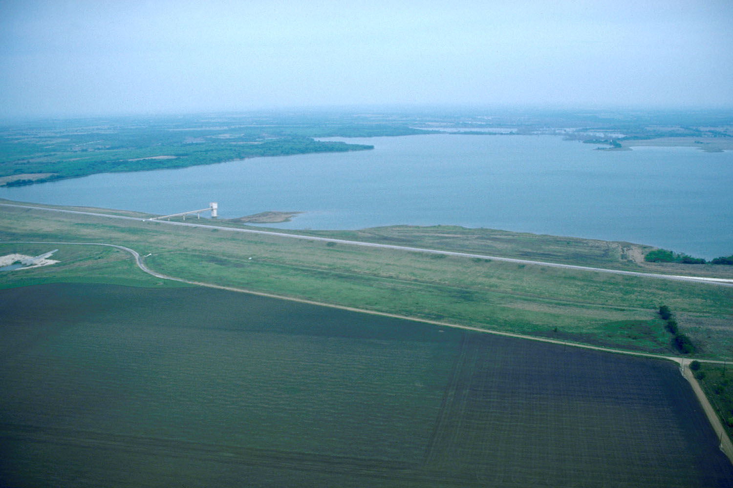
English: Aerial view of Aquilla Lake and Dam on the Aquilla and Hackberry Creeks in Hill County, Texas, USA.
Coordinates: 31°53′54.9″N 97°12′8.94″W / 31.898583°N 97.2024833°W |
|||
| مکان | Hill County, Texas, USA | |||
| تاریخ | (Caveat: Dates provided by U.S. Army Corps of Engineers Digital Visual Library are not reliable and may be wrong.) | |||
| قایناق |
U.S. Army Corps of Engineers Digital Visual Library Image page Image description page Digital Visual Library home page |
|||
| یازار | U.S. Army Corps of Engineers, photographer not specified or unknown | |||
| ایجازه (فایلین تکرار ایستیفادهسی) |
|
فايل گئچمیشی
فايلین اولکی وئرسیياسینی گؤرمک اۆچون گۆن/تاریخ بؤلمهسیندهکی تاریخلری تێقلايین.
| تاریخ/واخت | کیچیک عکس | اؤلچولر | ایشلدن | باخیش | |
|---|---|---|---|---|---|
| ایندیکی | ۲۵ مئی ۲۰۰۷، ساعت ۱۹:۱۳ | | ۱٬۵۰۰ در ۱٬۰۰۰ (۱۷۷ کیلوبایت) | DanMS | {{Information | Description = {{en|Aerial view of Aquilla Lake and Dam on the Aquilla and Hackberry Creeks in Hill County, Texas, USA. }} Coordinates: {{Coor dms|31|53|54.9|N|97|12|8.94|W|type:city|display=inline}} | Source = U.S. Army Corps o |
فايل ایشلدمهسی
آشاغیداکی صحیفه بو فایلا باغلانیر
فایلین باشاباش ایشلنیلمهسی
بو فایل آشاغی داکی آیری ویکی لرده ایشلَنیر:
- ar.wikipedia.org-ده ایشلنمهسی
- arz.wikipedia.org-ده ایشلنمهسی
- ceb.wikipedia.org-ده ایشلنمهسی
- ce.wikipedia.org-ده ایشلنمهسی
- cy.wikipedia.org-ده ایشلنمهسی
- de.wikipedia.org-ده ایشلنمهسی
- en.wikipedia.org-ده ایشلنمهسی
- es.wikipedia.org-ده ایشلنمهسی
- eu.wikipedia.org-ده ایشلنمهسی
- fa.wikipedia.org-ده ایشلنمهسی
- fr.wikipedia.org-ده ایشلنمهسی
- ht.wikipedia.org-ده ایشلنمهسی
- hu.wikipedia.org-ده ایشلنمهسی
- it.wikipedia.org-ده ایشلنمهسی
- lld.wikipedia.org-ده ایشلنمهسی
- pl.wikipedia.org-ده ایشلنمهسی
- pt.wikipedia.org-ده ایشلنمهسی
- simple.wikipedia.org-ده ایشلنمهسی
- sr.wikipedia.org-ده ایشلنمهسی
- tt.wikipedia.org-ده ایشلنمهسی
- uk.wikipedia.org-ده ایشلنمهسی
- uz.wikipedia.org-ده ایشلنمهسی
- vi.wikipedia.org-ده ایشلنمهسی
- www.wikidata.org-ده ایشلنمهسی
- zh-min-nan.wikipedia.org-ده ایشلنمهسی