
فایل:Japan bluemarble location map with side map of the Ryukyu Islands.jpg
سیناق گؤستریشی اؤلچوسو: ۶۶۴ × ۶۰۰ پیکسل. آیری کیفیتلر: ۲۶۶ × ۲۴۰ پیکسل | ۵۳۱ × ۴۸۰ پیکسل | ۸۵۰ × ۷۶۸ پیکسل | ۱٬۱۳۳ × ۱٬۰۲۴ پیکسل | ۲٬۴۹۷ × ۲٬۲۵۶ پیکسل.
فایلین اصلی (۲٬۴۹۷ × ۲٬۲۵۶ پیکسل, فایل اؤلچوسو: ۱٫۳۸ مگابایت, MIME نوعو: image/jpeg)
قیساسی
| آچیقلاما |
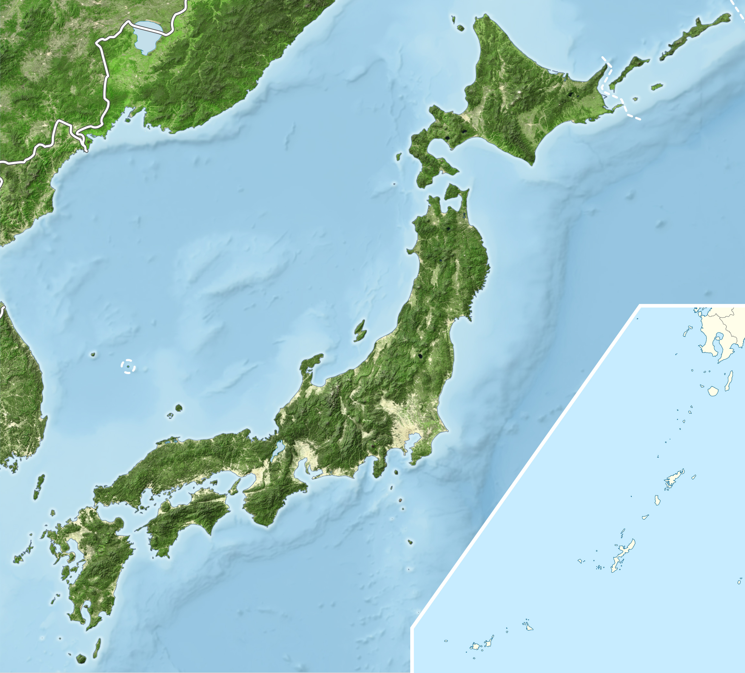
English: Blue Marble Location map of Japan
Equirectangular projection. Geographic limits to locate objects in the main map with the main islands:
Geographic limits to locate objects in the side map with the Ryukyu Islands:
|
||
| تاریخ | |||
| قایناق |
|
||
| یازار | Alexrk2 | ||
| ایجازه (فایلین تکرار ایستیفادهسی) |
بو فایل کریتیو کامانز مجوز ایله Attribution-Share Alike 3.0 اویغونلاشمامیش یاییملانیبدیر.
|
||
| آیری نوسخهلر |
|


فايل گئچمیشی
فايلین اولکی وئرسیياسینی گؤرمک اۆچون گۆن/تاریخ بؤلمهسیندهکی تاریخلری تێقلايین.
| تاریخ/واخت | کیچیک عکس | اؤلچولر | ایشلدن | باخیش | |
|---|---|---|---|---|---|
| ایندیکی | ۲۲ مارس ۲۰۱۱، ساعت ۱۹:۵۵ | | ۲٬۴۹۷ در ۲٬۲۵۶ (۱٫۳۸ مگابایت) | Alexrk2 | RGB |
| ۲۲ مارس ۲۰۱۱، ساعت ۱۹:۰۷ |  | ۲٬۴۹۷ در ۲٬۲۵۶ (۸۷۸ کیلوبایت) | Chumwa | RGB mode | |
| ۲۱ مارس ۲۰۱۱، ساعت ۲۱:۵۷ |  | ۲٬۴۹۷ در ۲٬۲۵۶ (۱٫۸۸ مگابایت) | Alexrk2 | jpg quality | |
| ۲۱ مارس ۲۰۱۱، ساعت ۲۱:۰۵ |  | ۲٬۴۹۷ در ۲٬۲۵۶ (۱٫۸۲ مگابایت) | Alexrk2 | == {{int:filedesc}} == {{Information |Description= {{en|Blue Marble Location map of Japan Equirectangular projection. Geographic limits to locate objects in the main map with the main islands: * N: 45°51'37" N (45.86°N) * S: 30°01'13" N |
فايل ایشلدمهسی
آشاغیداکی صحیفه بو فایلا باغلانیر
فایلین باشاباش ایشلنیلمهسی
بو فایل آشاغی داکی آیری ویکی لرده ایشلَنیر:
- ace.wikipedia.org-ده ایشلنمهسی
- ar.wikipedia.org-ده ایشلنمهسی
- arz.wikipedia.org-ده ایشلنمهسی
- ast.wikipedia.org-ده ایشلنمهسی
- as.wikipedia.org-ده ایشلنمهسی
- ban.wikipedia.org-ده ایشلنمهسی
- bcl.wikipedia.org-ده ایشلنمهسی
- bh.wikipedia.org-ده ایشلنمهسی
- bn.wikipedia.org-ده ایشلنمهسی
- br.wikipedia.org-ده ایشلنمهسی
- bs.wikipedia.org-ده ایشلنمهسی
- ca.wikipedia.org-ده ایشلنمهسی
- ceb.wikipedia.org-ده ایشلنمهسی
- ckb.wikipedia.org-ده ایشلنمهسی
- cs.wikipedia.org-ده ایشلنمهسی
- da.wikipedia.org-ده ایشلنمهسی
- de.wikipedia.org-ده ایشلنمهسی
- diq.wikipedia.org-ده ایشلنمهسی
- dty.wikipedia.org-ده ایشلنمهسی
- el.wikipedia.org-ده ایشلنمهسی
بو فایلینسراسری ایستفاده لرینه باخین.