
فایل:Map of Sullivan County Indiana Townships.svg

حجم پیشنمایش PNG این SVG file:۵۱۲ × ۵۱۲ پیکسل آیری کیفیتلر: ۲۴۰ × ۲۴۰ پیکسل | ۴۸۰ × ۴۸۰ پیکسل | ۷۶۸ × ۷۶۸ پیکسل | ۱٬۰۲۴ × ۱٬۰۲۴ پیکسل | ۲٬۰۴۸ × ۲٬۰۴۸ پیکسل.
فایلین اصلی (SVG فایلی، ۵۱۲ × ۵۱۲ پیکسئل، فایلین اؤلچوسو: ۵۳ کیلوبایت)
| آچیقلاما |
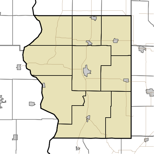
English: This is a map of the townships in Sullivan County, Indiana, USA. |
| تاریخ | (UTC) |
| قایناق | |
| یازار |
|
من، صاحب حقوق قانونی این اثر، به این وسیله این اثر را تحث اجازهنامهٔ ذیل منتشر میکنم:
| من، دارنده حق تکثیر این اثر، این اثر را به مالکیت عمومی منتشر میکنم. این قابل اجرا در تمام نقاط جهان است. در برخی از کشورها ممکن است به صورت قانونی این امکانپذیر نباشد؛ اگر چنین است: من اجازهٔ استفاده از این اثر را برای هر مقصودی، بدون هیچگونه شرایطی میدهم، تا وقتی که این شرایط توسط قانون مستلزم نشده باشد. |
اورجینال یوکلمه گوندهلیگی
This image is a derivative work of the following images:
- File:Map_highlighting_Cass_Township,_Sullivan_County,_Indiana.svg licensed with PD-self
- 2007-11-24T20:01:54Z File Upload Bot (Omnedon) 512x512 (26387 Bytes) == Summary == {{Information |Description={{en|This is a map of Sullivan County, Indiana, USA which highlights the location of Cass Township.}} |Source=My own work, using freely-available TIGER data and custom-written MapScri
Uploaded with derivativeFX
فايل گئچمیشی
فايلین اولکی وئرسیياسینی گؤرمک اۆچون گۆن/تاریخ بؤلمهسیندهکی تاریخلری تێقلايین.
| تاریخ/واخت | کیچیک عکس | اؤلچولر | ایشلدن | باخیش | |
|---|---|---|---|---|---|
| ایندیکی | ۱۷ آقوست ۲۰۱۰، ساعت ۱۸:۱۷ | | ۵۱۲ در ۵۱۲ (۵۳ کیلوبایت) | Sweet kate | {{Information |Description={{en|This is a map of the townships in Sullivan County, Indiana, USA.}} |Source=*File:Map_highlighting_Cass_Township,_Sullivan_County,_Indiana.svg |Date=2010-08-17 18:13 (UTC) |Author=*[[:File:Map_highlighting_Cass_Townshi |
فايل ایشلدمهسی
آشاغیداکی 9 صحیفهلر بو فایلا باغلانیرلار
فایلین باشاباش ایشلنیلمهسی
بو فایل آشاغی داکی آیری ویکی لرده ایشلَنیر:
- ar.wikipedia.org-ده ایشلنمهسی
- ceb.wikipedia.org-ده ایشلنمهسی
- en.wikipedia.org-ده ایشلنمهسی
- Union Christian College, Merom
- Cass, Indiana
- Fairbanks, Indiana
- Graysville, Indiana
- Jackson Hill, Indiana
- New Lebanon, Indiana
- Paxton, Indiana
- Pleasantville, Indiana
- Riverton, Indiana
- Scott City, Indiana
- Sullivan County Airport
- Module:Location map/data/USA Indiana Sullivan County/doc
- Baldridge, Indiana
- Benefiel Corner, Indiana
- Bucktown, Indiana
- Dodds Bridge, Indiana
- Gambill, Indiana
- Glendora, Indiana
- Greenville, Sullivan County, Indiana
- Merom Station, Indiana
- Riverview, Indiana
- Scotchtown, Indiana
- Shiloh, Indiana
- Standard, Indiana
- Stringtown, Sullivan County, Indiana
- Wilfred, Indiana
- Baker, Indiana
- East Shelburn, Indiana
- Hawton, Indiana
- Jericho, Indiana
- Curryville, Sullivan County, Indiana
- Sullivan County Courthouse (Indiana)
- Sherman Building (Sullivan, Indiana)
- Shelburn station
- Massacre, Indiana
- Caledonia, Indiana
- Farnsworth, Indiana
- Module:Location map/data/USA Indiana Sullivan County
- fa.wikipedia.org-ده ایشلنمهسی
بو فایلینسراسری ایستفاده لرینه باخین.