
فایل:South Africa Northern Cape location map.svg

حجم پیشنمایش PNG این SVG file:۵۸۹ × ۵۹۹ پیکسل آیری کیفیتلر: ۲۳۶ × ۲۴۰ پیکسل | ۴۷۲ × ۴۸۰ پیکسل | ۷۵۵ × ۷۶۸ پیکسل | ۱٬۰۰۷ × ۱٬۰۲۴ پیکسل | ۲٬۰۱۴ × ۲٬۰۴۸ پیکسل | ۱٬۰۵۴ × ۱٬۰۷۲ پیکسل.
فایلین اصلی (SVG فایلی، ۱٬۰۵۴ × ۱٬۰۷۲ پیکسئل، فایلین اؤلچوسو: ۲۹۶ کیلوبایت)
قیساسی
| آچیقلاما |
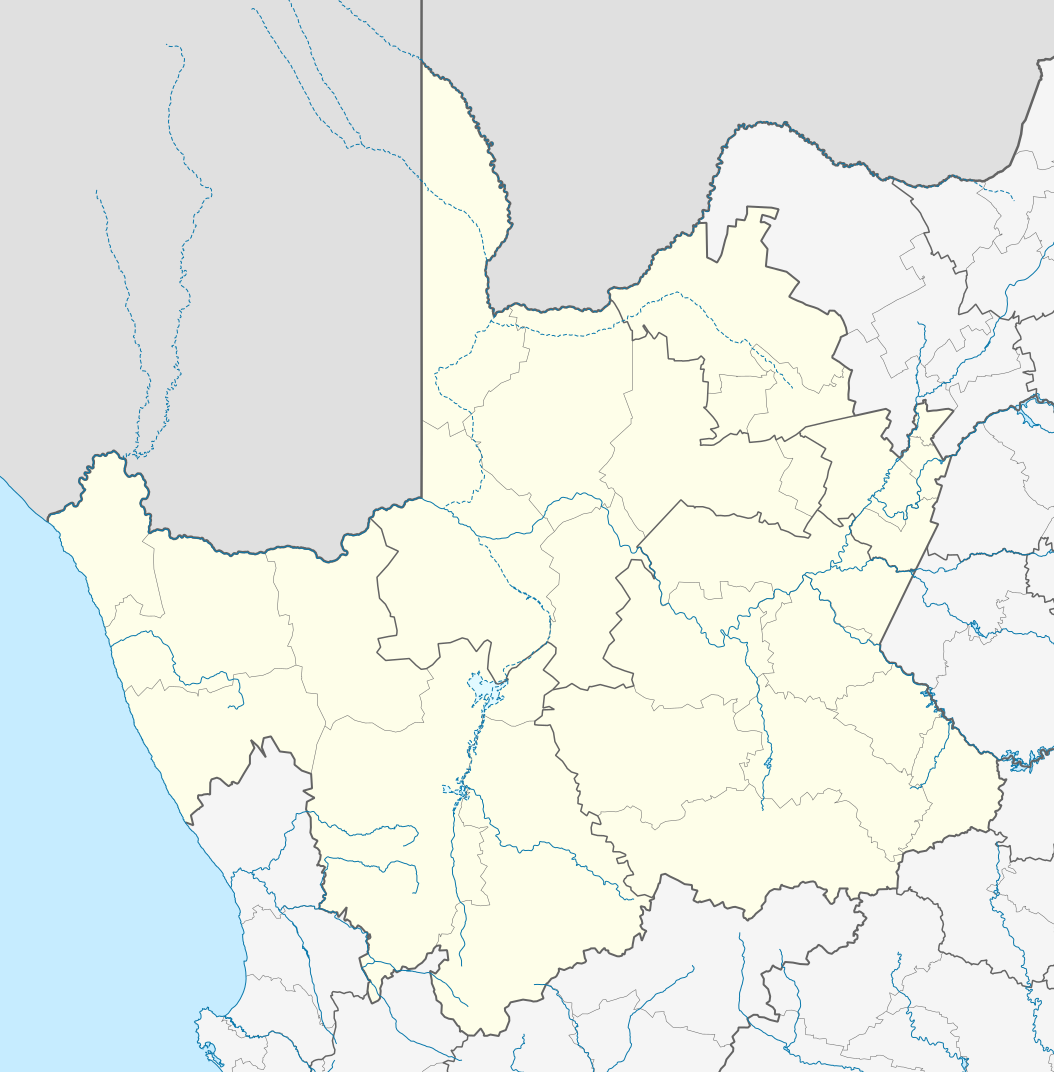
English: Location map of the Northern Cape
Equirectangular projection, N/S stretching 113%. Geographic limits of the map:
|
| تاریخ | |
| قایناق |
|
| یازار | Htonl |
| ایجازه (فایلین تکرار ایستیفادهسی) |
من، صاحب حقوق قانونی این اثر، به این وسیله این اثر را تحث اجازهنامهٔ ذیل منتشر میکنم: بو فایل کریتیو کامانز مجوز ایله Attribution-Share Alike 3.0 اویغونلاشمامیش یاییملانیبدیر.
|
| آیری نوسخهلر | File:South Africa Northern Cape relief location map.svg, File:Blank map of the Northern Cape (2011).svg |
.svg)
فايل گئچمیشی
فايلین اولکی وئرسیياسینی گؤرمک اۆچون گۆن/تاریخ بؤلمهسیندهکی تاریخلری تێقلايین.
| تاریخ/واخت | کیچیک عکس | اؤلچولر | ایشلدن | باخیش | |
|---|---|---|---|---|---|
| ایندیکی | ۶ ژانویه ۲۰۱۳، ساعت ۲۲:۲۸ | | ۱٬۰۵۴ در ۱٬۰۷۲ (۲۹۶ کیلوبایت) | Htonl | == {{int:filedesc}} == {{Information |Description ={{en|Location map of the en:Northern Cape Equirectangular projection, N/S stretching 113%. Geographic limits of the map: * N: 24.25° S * S: 33.25° S * W: 16° E * E: 26° E}} |Source ... |
فايل ایشلدمهسی
آشاغیداکی 2 صحیفهلر بو فایلا باغلانیرلار
فایلین باشاباش ایشلنیلمهسی
بو فایل آشاغی داکی آیری ویکی لرده ایشلَنیر:
- af.wikipedia.org-ده ایشلنمهسی
- Kimberley
- Upington
- Fraserburg
- Orania
- Sutherland
- Alexanderbaai
- Onseepkans
- Pella
- Postmasburg
- Calvinia
- Augrabies- Nasionale Park
- Williston, Noord-Kaap
- Garies
- Kamieskroon
- Vioolsdrif
- Steinkopf
- Hopetown
- Douglas, Noord-Kaap
- Okiep
- Concordia
- Port Nolloth
- Springbok, Noord-Kaap
- Pofadder, Noord-Kaap
- Carnarvon
- Victoria-Wes
- Hutchinson
- Hondeklipbaai
- Henkries
- Goodhouse
- Leliefontein
- Prieska
- Colesberg
- Mesklip
- Warrenton, Noord-Kaap
- Kuruman
- Hotazel
- Jan Kempdorp
- Loeriesfontein
- Vosburg
- Strydenburg
- Kenhardt
- Marydale
- De Aar
- Hartswater
- Groblershoop
- Campbell
- Loxton
- Windsorton
- Van Wyksvlei
- Richmond, Noord-Kaap
بو فایلینسراسری ایستفاده لرینه باخین.