
فایل:Carmarthenshire UK location map.svg

حجم پیشنمایش PNG این SVG file:۷۶۹ × ۶۰۰ پیکسل آیری کیفیتلر: ۳۰۸ × ۲۴۰ پیکسل | ۶۱۶ × ۴۸۰ پیکسل | ۹۸۵ × ۷۶۸ پیکسل | ۱٬۲۸۰ × ۹۹۸ پیکسل | ۲٬۵۶۰ × ۱٬۹۹۶ پیکسل | ۱٬۴۲۵ × ۱٬۱۱۱ پیکسل.
فایلین اصلی (SVG فایلی، ۱٬۴۲۵ × ۱٬۱۱۱ پیکسئل، فایلین اؤلچوسو: ۱٫۲۹ مگابایت)
| آچیقلاما |
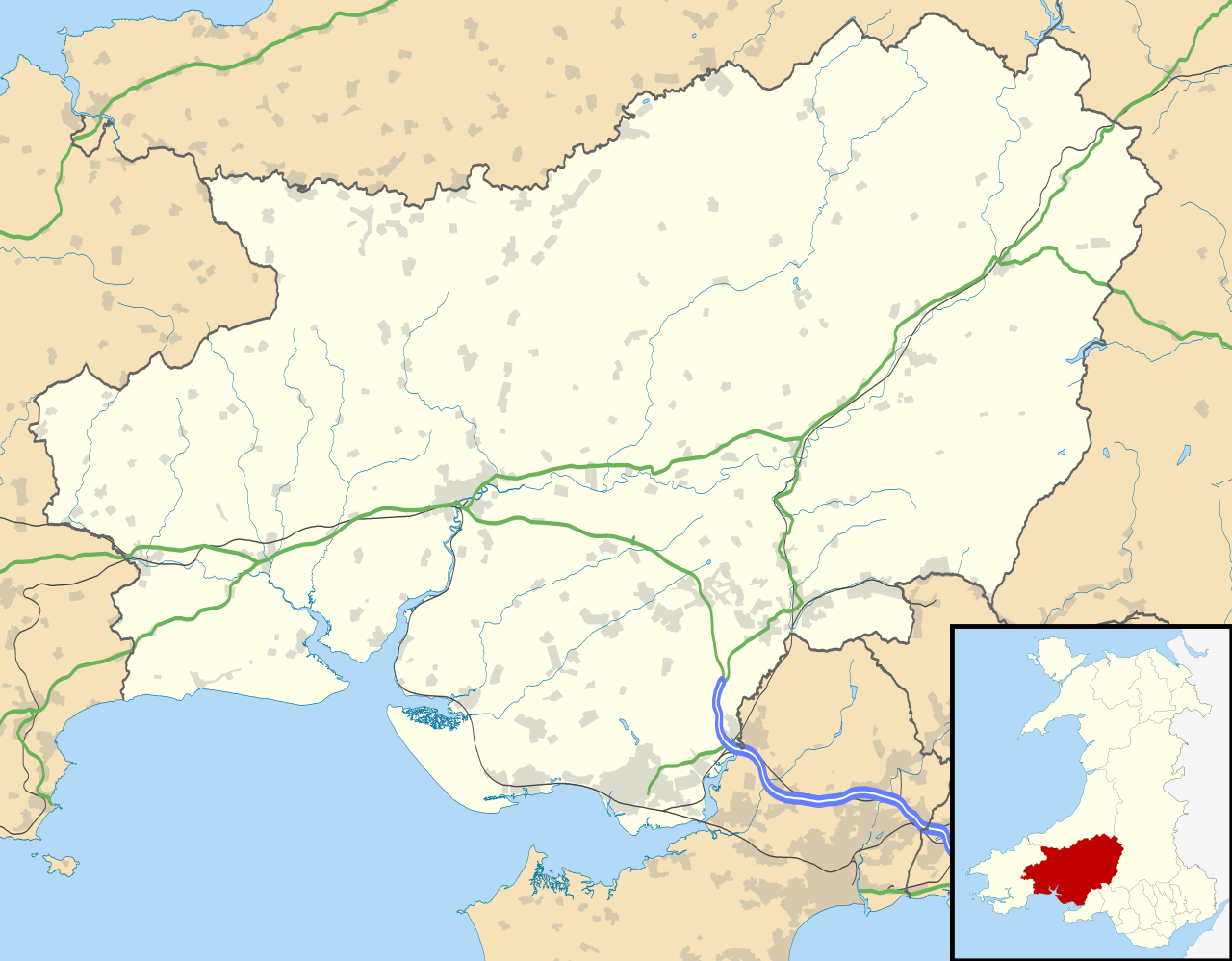
Blank map of Carmarthenshire, UK with the following information shown:
Equirectangular map projection on WGS 84 datum, with N/S stretched 160% Geographic limits:
|
| تاریخ | |
| قایناق |
|
| یازار | Nilfanion, created using Ordnance Survey data |
| ایجازه (فایلین تکرار ایستیفادهسی) |
بو فایل کریتیو کامانز مجوز ایله Attribution-Share Alike 3.0 اویغونلاشمامیش یاییملانیبدیر. موجَویز: Contains Ordnance Survey data © Crown copyright and database right
|
| آیری نوسخهلر | File:Carmarthenshire UK map.svg - Blank map |
فايل گئچمیشی
فايلین اولکی وئرسیياسینی گؤرمک اۆچون گۆن/تاریخ بؤلمهسیندهکی تاریخلری تێقلايین.
| تاریخ/واخت | کیچیک عکس | اؤلچولر | ایشلدن | باخیش | |
|---|---|---|---|---|---|
| ایندیکی | ۲۶ سپتامبر ۲۰۱۰، ساعت ۱۹:۳۱ | | ۱٬۴۲۵ در ۱٬۱۱۱ (۱٫۲۹ مگابایت) | Nilfanion | {{Information |Description=Blank map of Carmarthenshire, UK with the following information shown: *Administrative borders *Coastline, lakes and rivers *Roads and railways *Urban areas Equirectangular map projection on WGS 84 datum, |
فايل ایشلدمهسی
آشاغیداکی 2 صحیفهلر بو فایلا باغلانیرلار
فایلین باشاباش ایشلنیلمهسی
بو فایل آشاغی داکی آیری ویکی لرده ایشلَنیر:
- ar.wikipedia.org-ده ایشلنمهسی
- ceb.wikipedia.org-ده ایشلنمهسی
- cy.wikipedia.org-ده ایشلنمهسی
- en.wikipedia.org-ده ایشلنمهسی
- List of monastic houses in Wales
- Carmarthenshire
- Llanelli
- Carmarthen
- Ammanford
- Llwynhendy
- Llandeilo
- Newcastle Emlyn
- Whitland
- Burry Port
- Kidwelly
- Llandovery
- Abergwili
- Laugharne
- Cenarth
- St Clears
- Glanamman
- Pendine Sands
- Pembrey Sands Air Weapons Range
- Pembrey
- Pembrey Airport
- Llanybydder
- Betws, Carmarthenshire
- Bancyfelin
- Carreg Cennen Castle
- Aber-arad
- Abergorlech
- Abernant, Carmarthenshire
- Felinfoel
- Myddfai
- Cross Hands
- Brynamman
- Pantyffynnon
- Ferryside television relay station
- Ferryside
- Llansteffan
- Kidwelly Castle
- Garnant
- Eglwyscummin
- Pencader, Carmarthenshire
- Pontyberem
- Llangain
- Bryn, Llanelli
- Pemberton, Carmarthenshire
- Dafen, Carmarthenshire
- Llangennech
- Dylan Thomas Boathouse
بو فایلینسراسری ایستفاده لرینه باخین.